WIP Redshift and VDB volumes

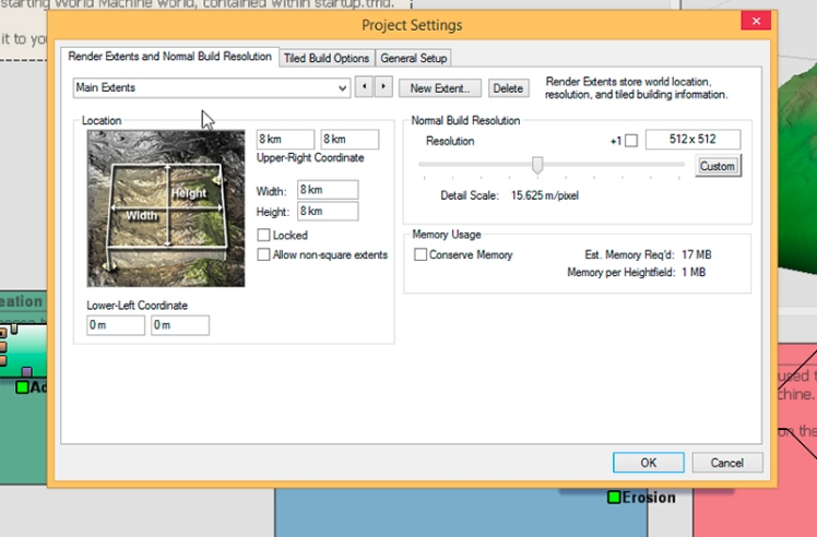
Did a little exploration. I was demoing World Machine to my class and thought why not do something with it again. I wanted to test using VDB volumes in Redshift so why not combine the two. I’ll do another post detailing using VDB volumes. This is by far not finished but a fun exploration.

Satellite Imagery DEM Files

DEM files are great for creating a basis in reality for environments. There is a little big of a work flow to use them but it is totally worth it. First, go to website to download the dem data. I use National Maps. They revamped the website so it took me a little bit to get used to the new gui. At first glance there is a ton of different ways to get data. Easiest way is click “Maps” in center image.

dem_1_nat_map

This takes you to the download area. You get a map for all of the US (National map is only USA, there are other sites to use for rest of the world). Pick an area you’d like to explore. I’ve used Google Earth to do my location scouting and then come to National Maps after. Continue reading “Satellite Imagery DEM Files”

World Machine Tips

Well, this weekend was pretty busy with other commitments, but here’s a cool little tip I got from a friend at work.

You can export out your world machine geometry (extent region) cropped to a mask, which when he explained it, totally made sense. For some reason it didn’t dawn on me.

So, take your existing World Machine file.

1_wm_file_whole

Let’s say you didn’t want to export the entire extent region (whole square area). Let’s say you just wanted to export out the center mountain. Continue reading “World Machine Tips”